01 / Real operation
Industrial drone inspection
Original CCMENG footage from industrial operations and hard-to-reach structures.

Engineering consulting
Mining, surveying and environmental engineering integrated with drones, LiDAR and 3D scanning.
Who we are
Discover CCMENG↗CCM Engenharia provides specialized consulting for mining, infrastructure, construction and environmental projects. Qualified professionals and more than 14 years of experience support clients throughout Brazil.
Clients
Experience built alongside leading companies in mining, industry, logistics, infrastructure and agribusiness.
















CCMENG in operation
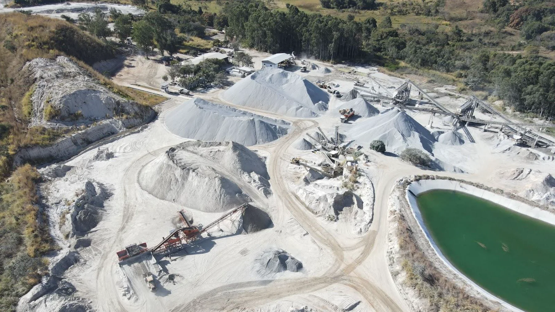
Real confined-drone inspection and LiDAR survey footage from mines and industrial environments.
Original CCMENG footage from industrial operations and hard-to-reach structures.
Real flight in a mine gallery for remote reconnaissance and reduced team exposure.
Synchronized flight imagery and point clouds to record and quantify stored materials.
Three-dimensional gallery reconstruction for visualization, measurement and technical analysis.
Original flight, trajectory and LiDAR footage used to quantify stored materials.
Three-dimensional pit visualization supporting mining planning and technical communication.
CCMENG engineering services
An integrated portfolio for mining, industry, surveying and environmental engineering.
Volumetric and mass measurement of bulk stock in silos, warehouses, sheds and piles using laser scanning, LiDAR, drones and auditable technical reports.
Topographic surveys with drones, LiDAR and 3D scanners for mines, construction sites, industrial plants and hard-to-reach areas.
Geological, geotechnical and structural characterization to reduce uncertainty, assess risk and support engineering and mining decisions.
Block models, pit design, sequencing and short-, medium- and long-term mine plans for safe and economically consistent decisions.
Studies, licensing, diagnostics, monitoring, drainage, erosion mitigation and land rehabilitation.
Elios 3 drone and LiDAR surveys of caves, galleries and underground mines. Point clouds, sections and visual records support specialist studies.
Details in PortugueseOur business
Three pillars combining compliance, operational efficiency, safety and sustainability.
Geology, geotechnics, mine planning, resource and reserve evaluation and due diligence.
Topography, volumetric inventories, drone surveys, LiDAR and 3D scanning.
Studies, licensing, diagnostics, monitoring and land rehabilitation integrated with engineering.
Why choose CCMENG
Faster data collection and processing.
Appropriate technology, field control and traceable data.
Data monitoring during inspections and surveys.
Point clouds, video, records and engineering analysis.
Blog and news
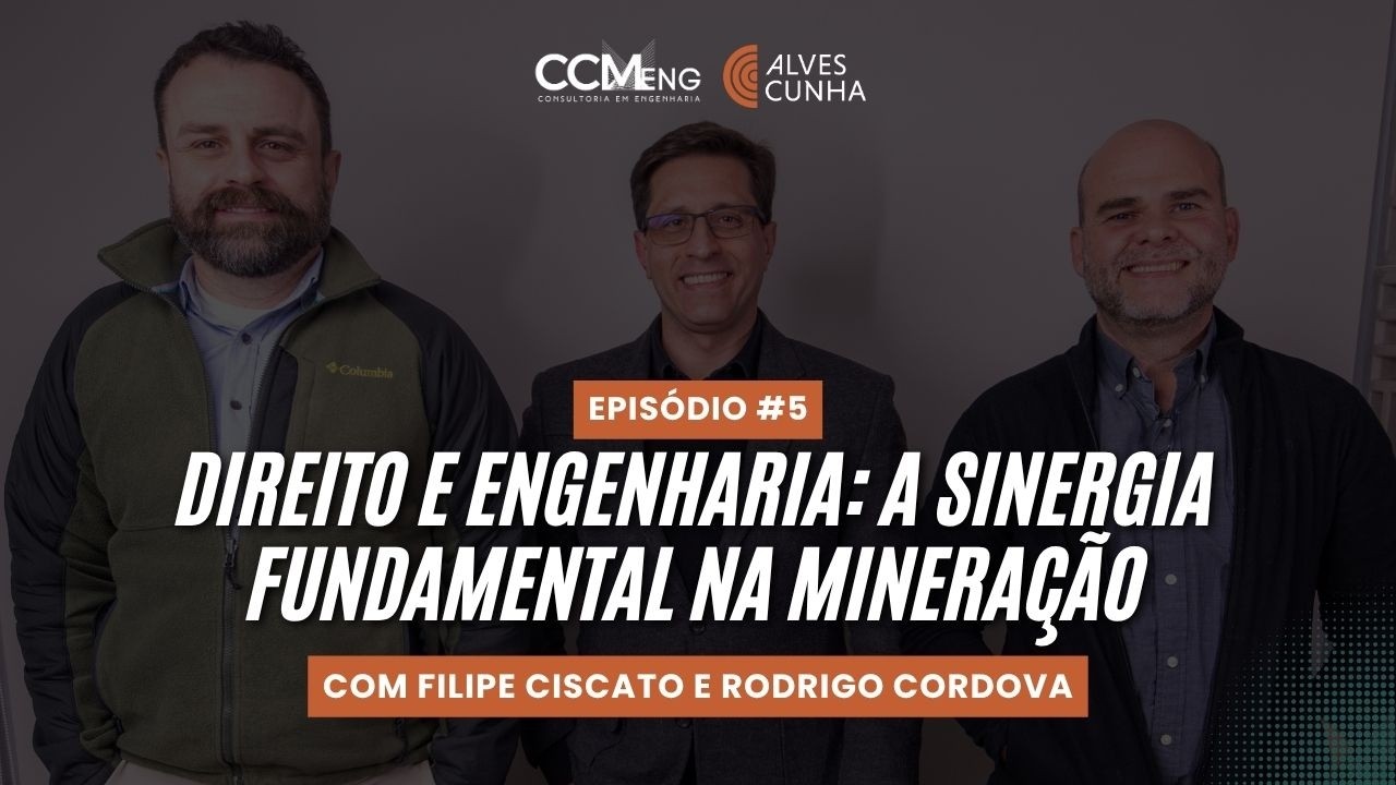
Learn why mine planning must begin before implementation, how it reduces technical and financial risks, and where artificial intelligence can support mining engineers.
Read article↗
How practical GEOVIA Surpac training brings data, people and operating routines together to produce more consistent mine-planning scenarios.
Read article↗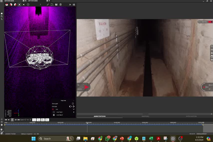
Learn how protected drones, LiDAR sensors and synchronized records reduce team exposure and improve data quality.
Read article↗Frequently asked questions
Mining, surveying and environmental engineering, as well as infrastructure, ports, agribusiness and industrial facilities.
Drones, LiDAR, laser scanning, 3D scanners, RTK and point-cloud processing.
CCM Ingeniería has an office in Ciudad del Este, Paraguay, and a U.S. presence in Delaware.
CCMENG presence
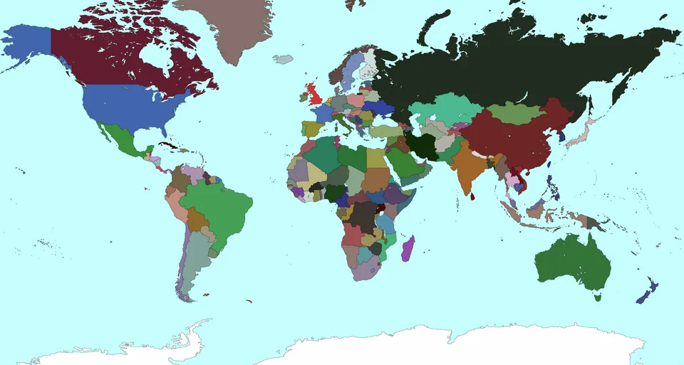
We serve projects throughout Brazil, with headquarters in Criciúma and São Paulo, an office in Ciudad del Este, Paraguay, and a U.S. presence in Delaware.
Let’s build together
Tell us about your project. CCM Engenharia is ready to understand your needs and recommend the next step.